Hawaii/Aleutian
Alaskan
Pacific
Mountain
Central
Eastern
Atlantic
UTC

Severe Weather Outlooks

Severe Weather Threat

Mouse Over Scrolling Text To Pause

There are no active warnings, watches, or advisories from St. Francis Weather Center.

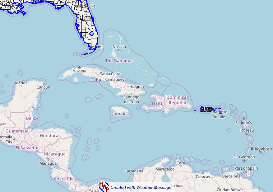
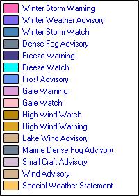
Local Warnings, Watches, and Advisories

Latest Radar Image (cick image for additional radar data)

Day 1-3 Outlooks

The image “http://www.spc.noaa.gov/products/outlook/day2otlk.gif” cannot be displayed, because it contains errors.
The image “http://www.spc.noaa.gov/products/outlook/day3otlk_1100.gif” cannot be displayed, because it contains errors.

Day 4-8 Extended Outlook
Day 4-8 Convective Outlook Graphics Issued on Apr 7, 2007

Tornado Threat
The image “http://www.spc.noaa.gov/products/outlook/day1probotlk_torn.gif” cannot be displayed, because it contains errors. 

Damaging Hail Threat

Damaging Wind Threat

Valid Watches Issued by the Storm Prediction Center

Mesoscale Discussions

Day Two Outlook
The image “http://www.spc.noaa.gov/products/outlook/day2otlk.gif” cannot be displayed, because it contains errors.

Day Three Outlook
The image “http://www.spc.noaa.gov/products/outlook/day3otlk_1100.gif” cannot be displayed, because it contains errors.

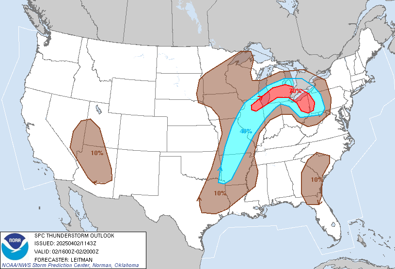
Thunderstorm Outlook - 0Z-4Z
Experimental Enhanced Resolution Thunderstorm Graphic valid until 3Z
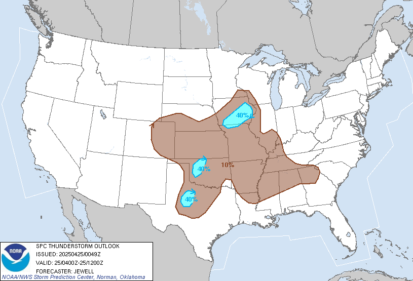
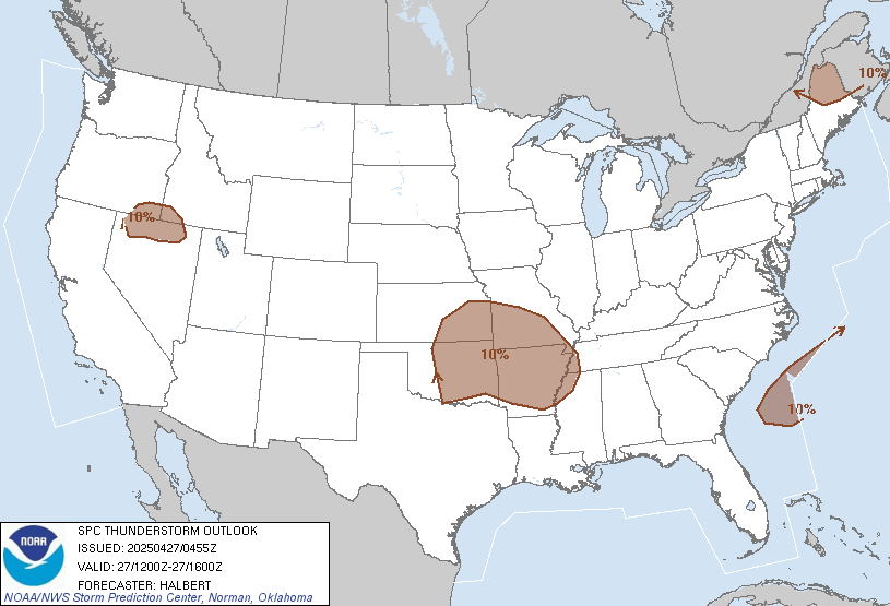
Thunderstorm Outlook - 4Z-12Z
Experimental Enhanced Resolution Thunderstorm Graphic valid from 3Z to 12Z

Thunderstorm Outlook - 16Z-20Z
Experimental Enhanced Resolution Thunderstorm Graphic valid until 3Z

Thunderstorm Outlook - 20Z-0Z
Experimental Enhanced Resolution Thunderstorm Graphic valid until 3Z

Copyright ©2020 St. Francis Weather Center (A Division of St. Francis Animal Medical Center)

visitor counter